
Technical Report Reveals Causes of Landslides in Baghouz, Deir ez-Zor
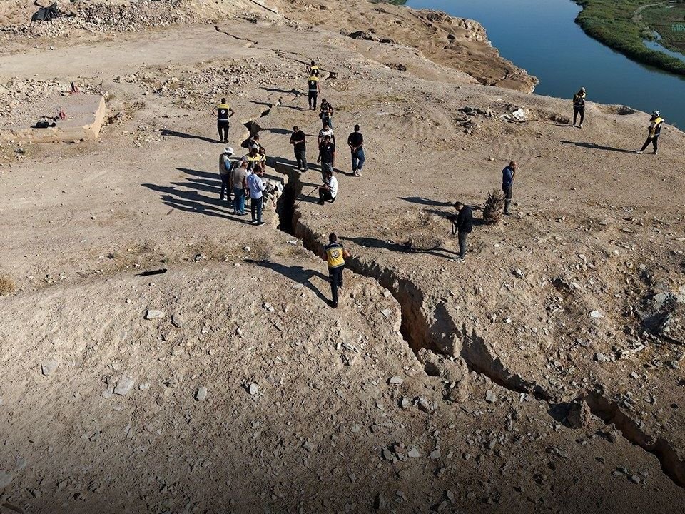
The joint committee tasked with investigating recent landslides in the Baghouz area of Deir ez-Zor province released its final technical report on Wednesday. The report identifies the primary factors behind the earth fissures, depressions, and landslides observed in the region, formally excluding any direct link to recorded seismic activity.
According to findings published by the Ministry of Energy, the geological phenomena observed in Baghouz are fundamentally driven by specific hydrological and geomorphological processes. The investigation concluded that the instability is primarily caused by the effects of flowing water, fluctuations in saturation levels, and hydrostatic pressure within surface sediments and clay formations. These interactions have led to a loss of natural soil stability, resulting in landslides moving toward the local watercourse.
Addressing concerns regarding potential seismic triggers, the report emphasized that the tremors recorded in the area—none of which exceeded 3.8 on the Richter scale—are insufficient to account for the scale of the surface deformations observed. Furthermore, the committee dismissed any connection between the ground cracks and the earthquake in Sanliurfa, citing the significant geographical distance between the two locations. Field inspections conducted at the site found no surface evidence of recent tectonic activity or active fault lines that could be responsible for the fissures.
Based on these findings, the committee has recommended urgent preventive measures to ensure the safety of local residents. Key recommendations include the removal of rock and gypsum masses that pose a collapse risk, the initiation of more detailed geological and geophysical studies, and the execution of a precise topographical survey of the area. The report also stressed the necessity of completing further studies to determine appropriate engineering solutions aimed at mitigating future risks.
The findings follow a comprehensive field survey conducted at the end of September by the General Establishment for Geology and Mineral Resources, in coordination with the National Center for Earthquakes. Technical teams focused their efforts on the Jahfat al-Baghouz area near the Syrian-Iraqi border, where they examined cracks in the mountain structure and collected gypsum and clay samples for laboratory analysis to better understand the geological shifts occurring in the region.
Source: Syria Focus Arabic
